

Bruges has a skyline you can recognise before you know its history: towers, stepped roofs and water threading between buildings. Yet the most important part of its medieval commercial geography lies beyond the familiar centre. To understand how this inland city became a meeting place for overseas merchants, you have to follow its connections towards the North Sea.
The city, also called Brugge, stood in the County of Flanders, in what is now Belgium. Between roughly 1200 and 1500, its fortunes were bound to the Zwin, a tidal inlet with smaller ports along its banks. Bruges was the commercial centre of a larger working landscape. A view from one picturesque bridge cannot show you all of it.
PLACE & TIME
A city and its route to the sea
Bruges and its connected settings
Historical County of Flanders · present-day Belgium
1200–1500 CE
Period and setting
Begin outside the city walls
A ship arriving in the Zwin did not encounter one fixed harbour serving every purpose. Damme, Monnikerede, Hoeke and Sluis belonged to a changing network of settlements, channels and landing places. Ghent University’s research treats that whole landscape as part of Bruges’ port system. Water depth, access and local facilities made different places useful for different tasks.
That distinction changes the meaning of “port city”. The port was where ships could be handled; the international market was where goods, buyers, finance and information came together. Those activities could occupy different places. Their separation required more transport and coordination, but it also allowed an inland centre to participate in maritime exchange.
FOLLOW THE CONNECTIONS
Three spaces to keep in view
The sea entrance
Shipping connected the Zwin region with overseas markets. The inlet and its channels changed over time.
The outports
Smaller settlements provided landing places and services. Their roles overlapped and changed; they were not identical miniature versions of Bruges.
The urban market
The city brought together commerce, local production and institutions. Goods still needed people and practical connections to reach it.
At Hoeke, the research team identifies evidence for quays and a sheltered area associated with repair and overwintering. Written accounts and archaeological indicators help reconstruct these facilities. Some details remain hypotheses, including the interpretation of possible metalworking installations. The value of the reconstruction comes from combining evidence, rather than making every suggestive trace certain.
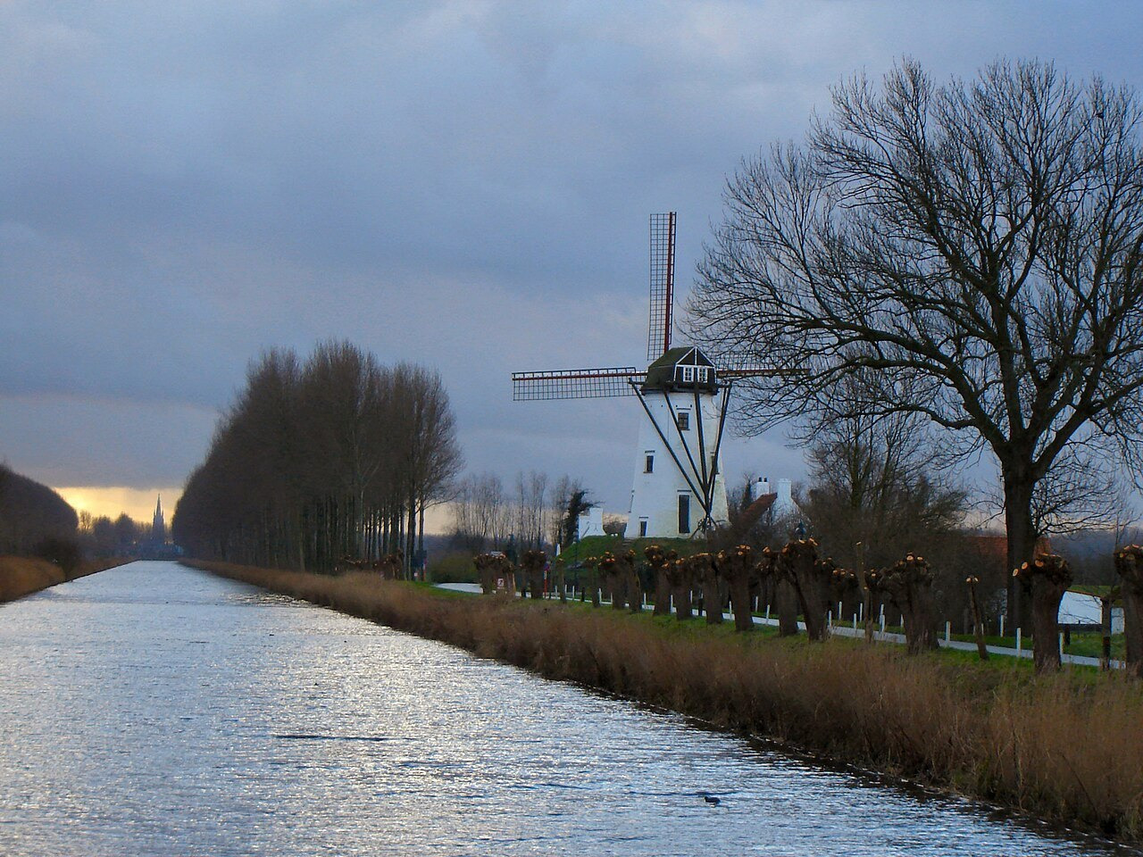
The smaller ports had lives of their own
Calling a place an outport can make it sound like a passive appendage. Monnikerede complicates that impression. Its early written record includes merchants sailing in English and French waters. Ships associated with the settlement could also serve fishing and military purposes. The people there did more than wait for instructions from the larger city.
A harbour community needed houses and streets as well as ships. Researchers have combined accounts, land descriptions, surface finds and geophysical surveys to recover Monnikerede’s topography. These methods connect the shape of a settlement with the people and activities recorded in it. The result is an estimate grounded in several kinds of evidence, not a photograph of a vanished town.
KEY IDEA
Bruges’ maritime importance depended on connections between the city and other communities.
This wider view also prevents an easy mistake about present-day water. The straight Damse Vaart visible today is a later canal, not the medieval Zwin preserved unchanged. At Monnikerede, its nineteenth-century construction cut through the former settlement. A surviving waterway can be historically important while belonging to a different phase from the one you are trying to understand.
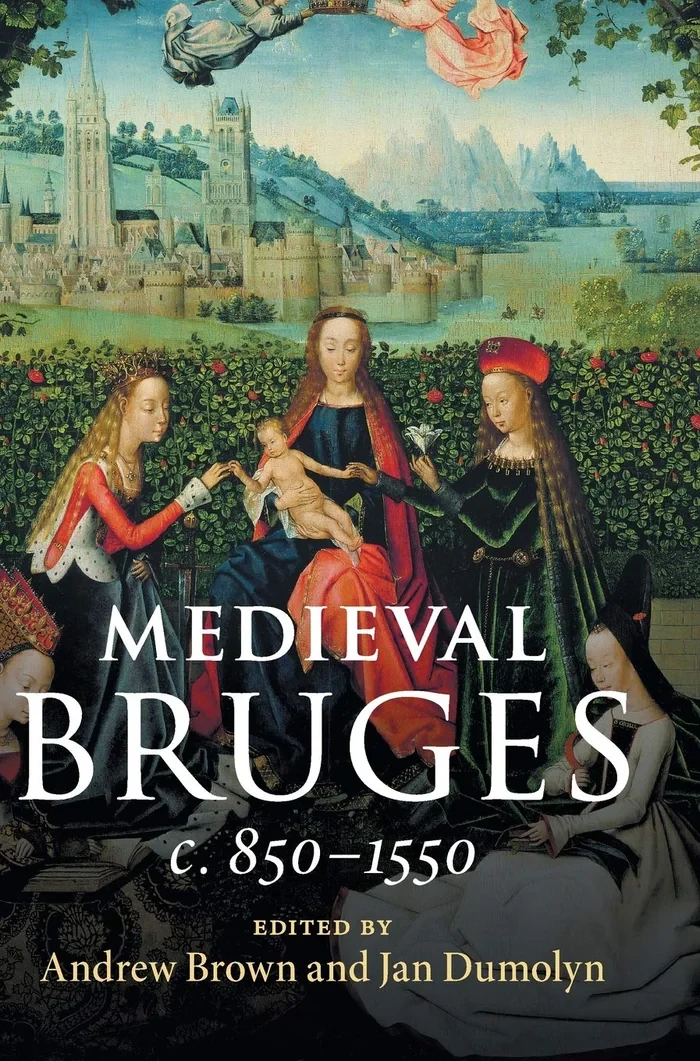
Ank Kumar · CC BY-SA 4.0 · resized jpeg photograph.
Within Bruges, movement met authority
Inside the city, streets, canals and squares connected commercial activity with civic and religious institutions. UNESCO’s account of the historic centre identifies the persistence of this urban pattern. The arrangement matters: a market needs accessible places, while government needs spaces in which decisions and authority can become visible.
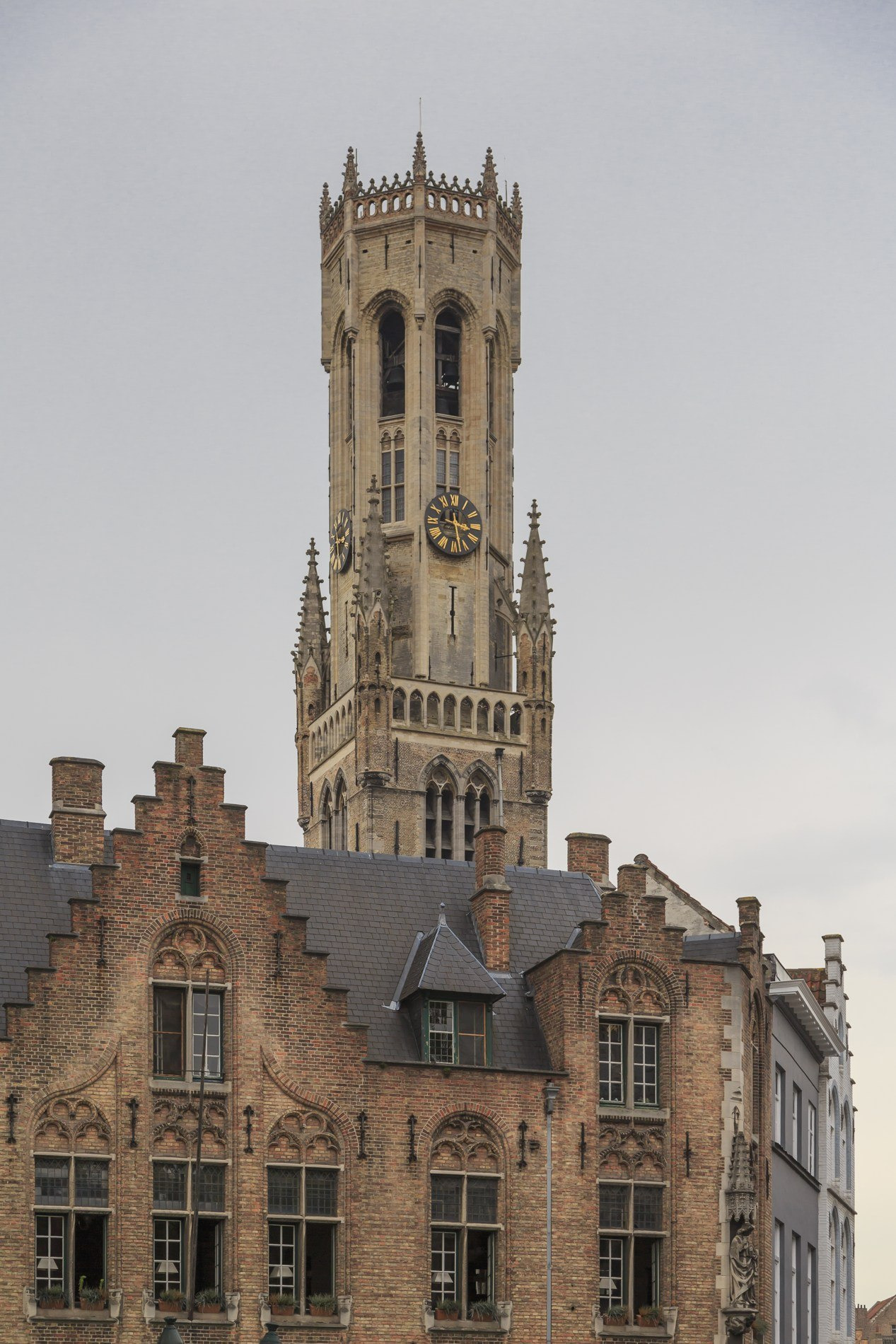
The Markt and its belfry offer one conspicuous example of commerce and civic identity occupying the same urban landscape. A tower can dominate a view in a way that a workshop never will. That difference in visibility should not become a judgement about which activity mattered most. The institutions represented by prominent buildings depended on the less monumental work around them.
COMPARE
What a surviving city can tell you
Street pattern
Routes and squares show how parts of the city connect.
Which movements and uses belonged to the period being studied?
Canals
Waterways reveal the importance of water within the urban fabric.
How have their form, depth and function changed?
Monuments
Civic and religious buildings show where authority became visible.
Whose work and homes are less well represented?
You can use that distinction while looking at Bruges today. The city is neither an untouched medieval stage set nor a place whose older fabric has become meaningless. Buildings have been adapted, restored and sometimes redesigned. The useful question is what a particular feature preserves, and what other evidence is needed to place it in time.
Guilds helped shape the spaces between monuments
Workers’ associations also made claims on the urban landscape. Mathijs Speecke’s research describes craft guilds investing in halls, hospices and chapels in fourteenth-century Bruges and Ghent. These buildings made collective identity visible. They could provide practical facilities while asserting that a craft had a recognised place in the city.
A guild was an organised occupational body, not simply everyone who happened to perform a task. Its shared spaces could express solidarity and hierarchy at the same time. Members did not necessarily have equal wealth or influence. Nor did the visibility of a guild building measure all the work done by people outside the organisation.
WORDS TO KEEP APART
Four words for the urban landscape
Outport
A harbour settlement connected with a larger commercial centre.
Tidal inlet
A water channel linked to the sea and affected by tides.
Guild
An occupational association with rules and collective activities; membership and power varied.
Urban fabric
The arrangement of streets, plots, buildings and open spaces accumulated through a city’s history.
This helps you read the city as a distribution of opportunities. Some activities acquired halls, privileges and conspicuous places. Other tasks took place in homes, small shops or peripheral settlements. A city tour centred only on the largest buildings can make institutional success look like the experience of everyone who lived there.
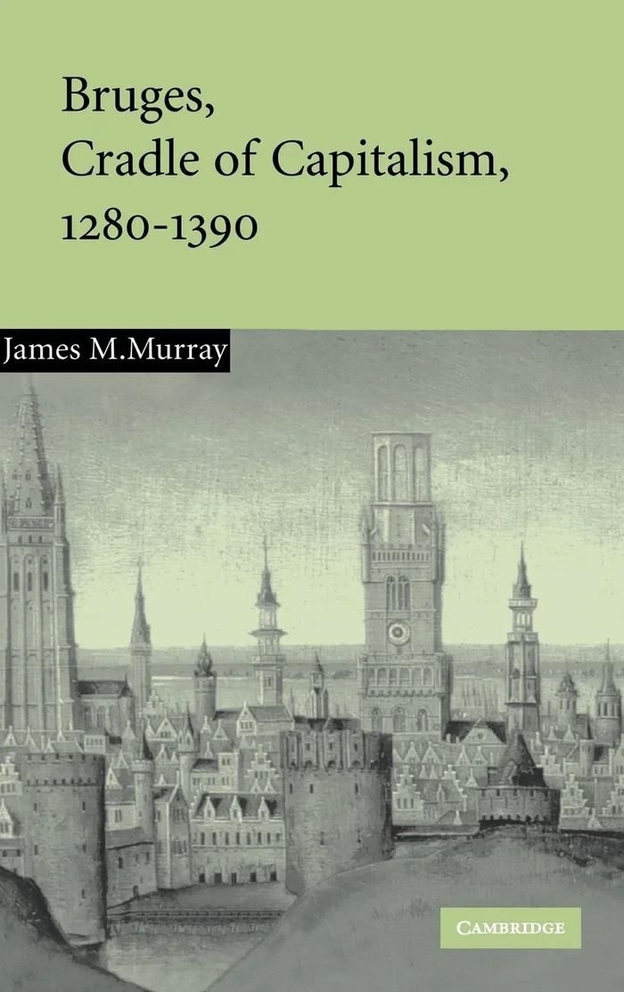
Ank Kumar · CC BY-SA 4.0 · resized jpeg photograph.
A map can preserve a claim as well as a place
Marcus Gheeraerts’ map of Bruges, produced in 1562, lies after this chapter’s main medieval period. It is useful precisely because it should not be treated as a transparent window onto an earlier century. Research on Bruges’ maps connects their presentation of water access with attempts to attract trade. The map shows a city whose officials still wanted its connection with the sea to matter.
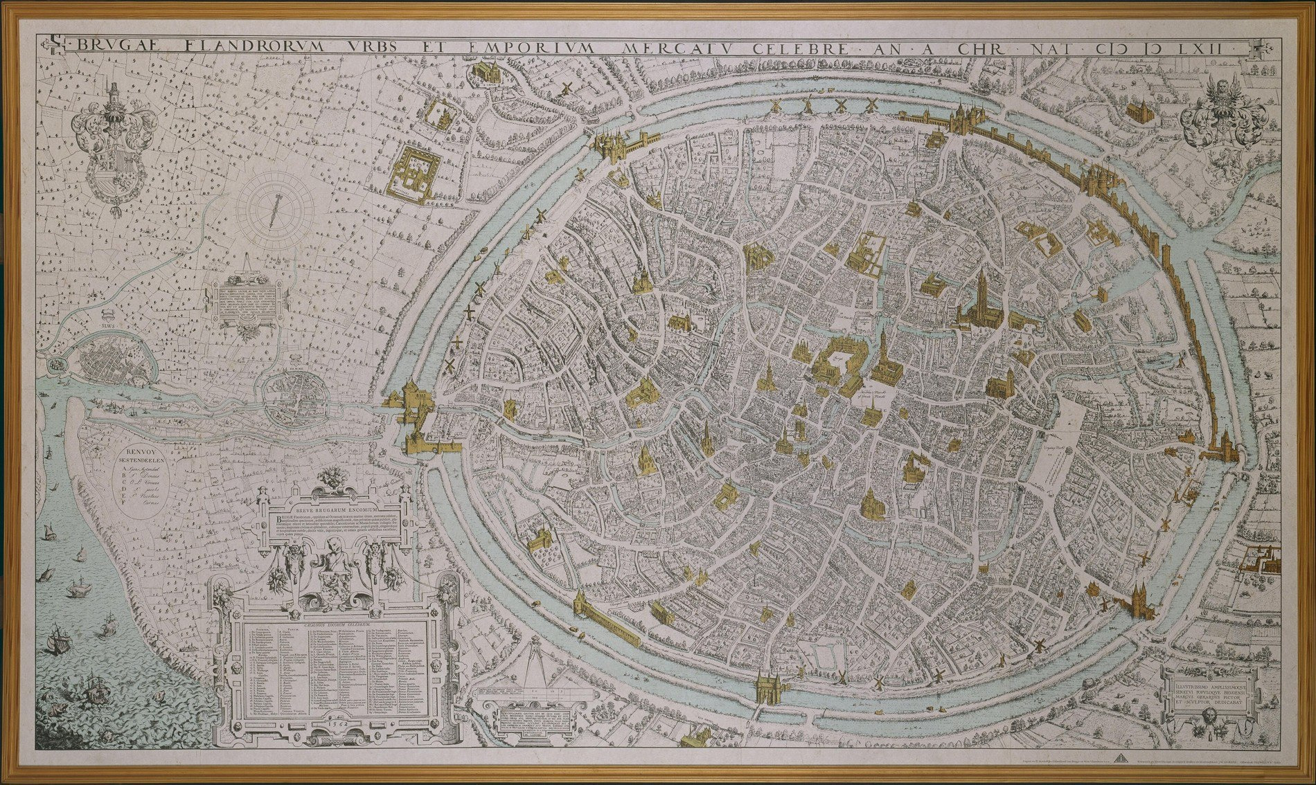
A historical map can therefore answer two different questions: what features did its maker represent, and what did its commissioners want the viewer to notice? Those questions belong together. A carefully drawn waterway may preserve valuable spatial information while also participating in an argument about the city’s commercial usefulness.
- Check the map’s date before using it for an earlier period.
- Read waterways and buildings alongside the map’s purpose.
- Compare the represented landscape with archaeological and written evidence.
The same approach applies to a modern photograph. It can show you the relationship between buildings and water now. It cannot establish which boats could pass under a particular bridge in 1400, or who worked in a house five centuries ago. Its value increases when its limits are clear: it becomes an invitation to investigate rather than a substitute for investigation.
The city was a meeting place that had to be maintained
An inland position did not prevent Bruges from participating in maritime trade. It made the connections between water, settlements and the urban market especially consequential. Access required more than proximity on a map. It depended on facilities, transport, institutions and the people who made the handovers work.
That is the starting point for this story path. Bruges’ wealth cannot be explained by its buildings alone, or by the Zwin alone. The next chapter follows a different connection: how merchants arriving with goods found local assistance, arranged payment and turned a difficult journey into a transaction.

_and_Belfry_of_Bruges,_Bruges,_Belgium_(Ank_Kumar,_Infosys_Limited)_05.jpg)


